I have gained valuable knowledge and experience in Coursera's GIS specialization. Experience using Model Builder has been elusive in the professional setting, but use of this ArcMap feature has been essential in Imagery, Automation and Applications, which is the fourth course in the specialization.
Experience using Model Builder
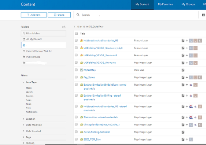
Workflow
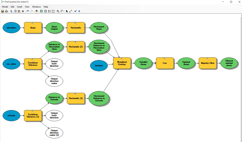
In ArcMap, develop a model to determine the best site for a new school.
- Set the model properties. Processing Extent and Raster Analysis are set to Same as Layer Elevation in Model Properties.
- Click the Environments tab, check the Extent box, then click the Values button. Do the same for Raster Analysis.
- This will establish the gdb I made, named Scratch.gdb, as the default destination for new output.
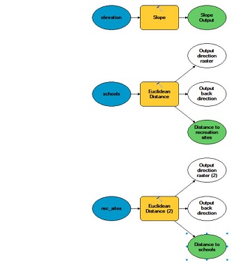
- Add layers: elevation, schools, rec_sites to the model
- Add tools to the model: Slope, Euclidean Dist (2x, for schools and rec_sites)
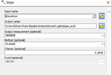
- Establish the tool parameters: right click the tool, select Open, then establish the input raster, name the output raster, then enter 0.3048 to convert the output unit from feet to meters.
Website Designed with HTML5, CSS and Bootstrap 4 in Notepad++ by Doug Wolfinger. © 2020 Doug Wolfinger